

Features
Details
Upgrade your off-road adventures with the Polaris OEM Northeast Region XTR GPS HD Map Card! This genuine Polaris OEM Part 2879430 is designed to enhance your navigation experience with detailed maps of the Northeast region. Perfect for POLARIS XTR GPS BY LOWRANCE (Product #2879174), this map card includes coverage of Maine, Vermont, New Hampshire, Massachusetts, Rhode Island, Connecticut, and more! Stay on track and explore with confidence.
Take your Polaris vehicle to the next level with the Polaris OEM Northeast Region XTR GPS HD Map Card. Whether you're a seasoned rider or a beginner, this map card will provide you with the tools you need to conquer new trails and discover hidden gems in the Northeast. With maps of states like New York, Pennsylvania, Virginia, and more, you'll never lose your way again!
Why settle for outdated maps when you can have the latest and most accurate navigation data at your fingertips? The Polaris OEM Northeast Region XTR GPS HD Map Card ensures that you're always on the right path, no matter where your off-road adventures take you. Don't miss out on this essential accessory for your POLARIS XTR GPS BY LOWRANCE (Product #2879174) - upgrade today!
Upgrade your navigation system with the Polaris OEM Northeast Region XTR GPS HD Map Card today!
Discover More Best Sellers in Marine GPS Chartplotters
Shop Marine GPS Chartplotters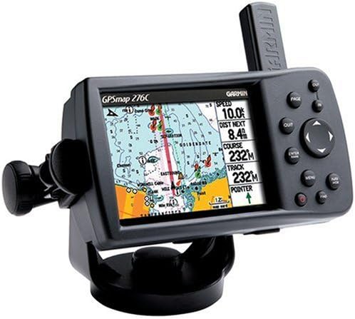


Garmin Bluechart G2 VUS038R New York To Chesapeake Vision MicroSD & SD

 Marine GPS Chartplotters - Garmin Bluechart G2 VUS038R New York To Chesapeake Vision MicroSD & SD

Garmin GPSMAP1022XSV 10" Combo Basemap No Transducer
Marine GPS Chartplotters - Garmin GPSMAP1022XSV 10" Combo Basemap No Transducer

Garmin Accessory, GMR Fantom 24, 010-01707-00
 Marine GPS Chartplotters - Garmin Accessory, GMR Fantom 24, 010-01707-00

Humminbird 600023-7 LakeMaster Southeast States PLUS V3 Digital GPS Maps Micro Card
 Marine GPS Chartplotters - Humminbird 600023-7 LakeMaster Southeast States PLUS V3 Digital GPS Maps Micro Card

Humminbird LakeMaster Plus - Western States - Version 2 Digital GPS Maps Micro Card (600011-5)
Marine GPS Chartplotters - Humminbird LakeMaster Plus - Western States - Version 2 Digital GPS Maps Micro Card (600011-5)

Garmin 010-02093-51 GPSMAP 8616xsv with Mapping and Sonar - 16", Navionics+
Marine GPS Chartplotters - Garmin 010-02093-51 GPSMAP 8616xsv with Mapping and Sonar - 16", Navionics+
 Marine GPS Chartplotters - Garmin ECHOMAP UHD2 63sv with GT54 Transducer, 6” Touchscreen Chartplotter, Garmin Navionics+ U.S. Inland

