
Garmin ECHOMAP UHD2 64sv with GT54 Transducer, 6” Touchscreen Chartplotter, Garmin Navionics+ U.S. Coastal

$799.99
Features
- Easy-to-use 6” chartplotter with a bright, sunlight-readable touchscreen display
- Built-in Garmin Navionics+ coastal charts with integrated Navionics data
- Built-in Wi-Fi connectivity lets you wirelessly share sonar, waypoints and routes with another ECHOMAP UHD2 chartplotter
- Wirelessly connects to your Force trolling motor to create and follow routes, navigate to waypoints, control speed, check battery life and more
Details
Upgrade your fishing experience with the Garmin ECHOMAP UHD2 64sv with GT54 Transducer. This easy-to-use 6” chartplotter features a bright, sunlight-readable touchscreen display that allows you to navigate with ease. With built-in Garmin Navionics+ coastal charts and integrated Navionics data, you can explore U.S. coastal waters confidently. The Wi-Fi connectivity enables you to wirelessly share sonar, waypoints, and routes with another ECHOMAP UHD2 chartplotter, enhancing your fishing efficiency.
Experience seamless navigation with the Garmin ECHOMAP UHD2 64sv. Connect wirelessly to your Force trolling motor to create and follow routes, navigate to waypoints, control speed, and check battery life all from the convenience of your chartplotter. With advanced features like these, you can focus on catching more fish and enjoying your time on the water without any distractions.
Don't miss out on the opportunity to elevate your fishing game with the Garmin ECHOMAP UHD2 64sv. Whether you are a novice or experienced angler, this chartplotter with GT54 transducer is designed to enhance your fishing adventures. Take control of your fishing expedition and explore new waters confidently with this top-of-the-line technology.
Discover More Best Sellers in Marine GPS Chartplotters
Shop Marine GPS Chartplotters
Garmin Bluechart G2 - HXPC018R - New Caledonia to Fiji - MicroSD/SD
 Marine GPS Chartplotters - Garmin Bluechart G2 - HXPC018R - New Caledonia to Fiji - MicroSD/SD

Lake Erie Western Basin Map, GPS Points, Waterproof Detailed Lake Map - #L127
 Marine GPS Chartplotters - Lake Erie Western Basin Map, GPS Points, Waterproof Detailed Lake Map - #L127
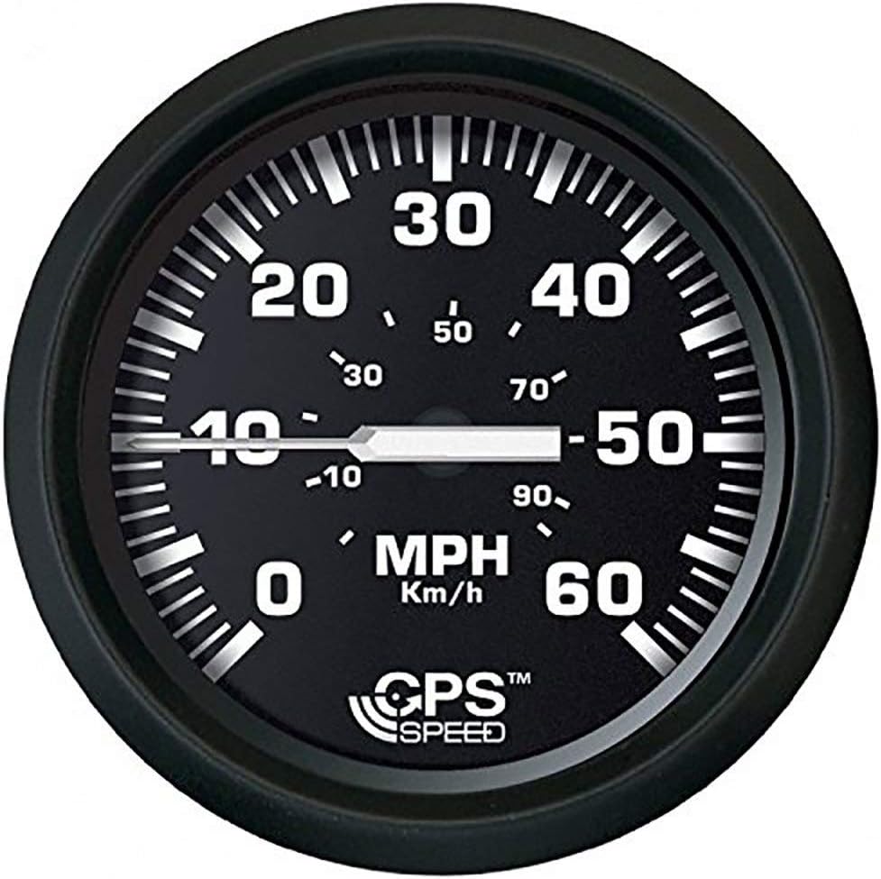
FARIA BEEDE 32816 Euro Speedometer GPS (60 MPH) Studded - 4, Black
Marine GPS Chartplotters - FARIA BEEDE 32816 Euro Speedometer GPS (60 MPH) Studded - 4, Black
 Marine GPS Chartplotters - Garmin ECHOMAP Plus 73cv with Transducer, 7" Keyed Assist Touchscreen Chartplotter/Sonar Combo with CHIRP Traditional and ClearVu Scanning Sonar Transducer and Built In LakeVu HD inland maps

Aroil Dolly Sods- Seneca Rocks WV Map - Purple
 Marine GPS Chartplotters - Aroil Dolly Sods- Seneca Rocks WV Map - Purple
![Marine GPS Chartplotters - Garmin Standard Mapping - Louisiana One ClassicmicroSD/SD Card [010-C1162-00]](https://images-na.ssl-images-amazon.com/images/I/71pDGA0tSvL._AC_SL1500_.jpg)
Garmin Standard Mapping - Louisiana One ClassicmicroSD/SD Card [010-C1162-00]
Marine GPS Chartplotters - Garmin Standard Mapping - Louisiana One ClassicmicroSD/SD Card [010-C1162-00]

Humminbird 600013-6 LakeMaster Plus Dakotas + Nebraska V2 Digital GPS Maps Micro Card
Marine GPS Chartplotters - Humminbird 600013-6 LakeMaster Plus Dakotas + Nebraska V2 Digital GPS Maps Micro Card

Humminbird 600025-7 LakeMaster Wisconsin V8 Digital GPS Maps Micro Card
Marine GPS Chartplotters - Humminbird 600025-7 LakeMaster Wisconsin V8 Digital GPS Maps Micro Card


