
Features
9-INCH TOUCHSCREEN DISPLAY: Bright, responsive interface designed for intuitive control and easy navigation
83/200 HDI TRANSDUCER: Provides CHIRP sonar and DownScan Imaging for clear views of fish and structure
C-MAP DISCOVER CHARTS: Preloaded coastal and inland maps with detailed coverage and smart routing features
INTEGRATED GPS AND CONNECTIVITY: Built-in GPS with Wi-Fi and NMEA 2000 support for seamless system integration
RADAR AND AUTOPILOT READY: Expandable to include Simrad radar and autopilot systems for enhanced control and safety
Discover More Best Sellers in Marine GPS Chartplotters
Shop Marine GPS Chartplotters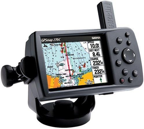


New-GARMIN VUS008R CHARLESTON TO JACKSONVILLE BLUECHART G2 - 30362
 Marine GPS Chartplotters - New-GARMIN VUS008R CHARLESTON TO JACKSONVILLE BLUECHART G2 - 30362

Garmin BlueChart® g2 Vision® HD - VUS031R - Southwest Caribbean - microSD/SD
Marine GPS Chartplotters - Garmin BlueChart® g2 Vision® HD - VUS031R - Southwest Caribbean - microSD/SD

Xantrex XPower 5000 Inverter Dual GFCI Remote ON/OFF UL458
Marine GPS Chartplotters - Xantrex XPower 5000 Inverter Dual GFCI Remote ON/OFF UL458

Humminbird As Grp Precision Gps Antenna
 Marine GPS Chartplotters - Humminbird As Grp Precision Gps Antenna

C-MAP Reveal - US Lakes South East, Map Card for Marine GPS chartplotters
Marine GPS Chartplotters - C-MAP Reveal - US Lakes South East, Map Card for Marine GPS chartplotters

Garmin ECHOMAP UHD 73sv, 7" Keyed-Assist Touchscreen Chartplotter with U.S. LakeVü g3 (Renewed)
 Marine GPS Chartplotters - Garmin ECHOMAP UHD 73sv, 7" Keyed-Assist Touchscreen Chartplotter with U.S. LakeVü g3 (Renewed)
 Marine GPS Chartplotters - Garmin 010-C1291-00 Navionics Vision+ U.S. East - Lakes, Rivers and Coastal Marine Charts microSD/SD and One-Year Subscription

